Google Earth is useful partly because it feels like a shared visual reference point. You can open a place, inspect its shape and context, and begin a conversation from something that appears to be a record of the physical world.
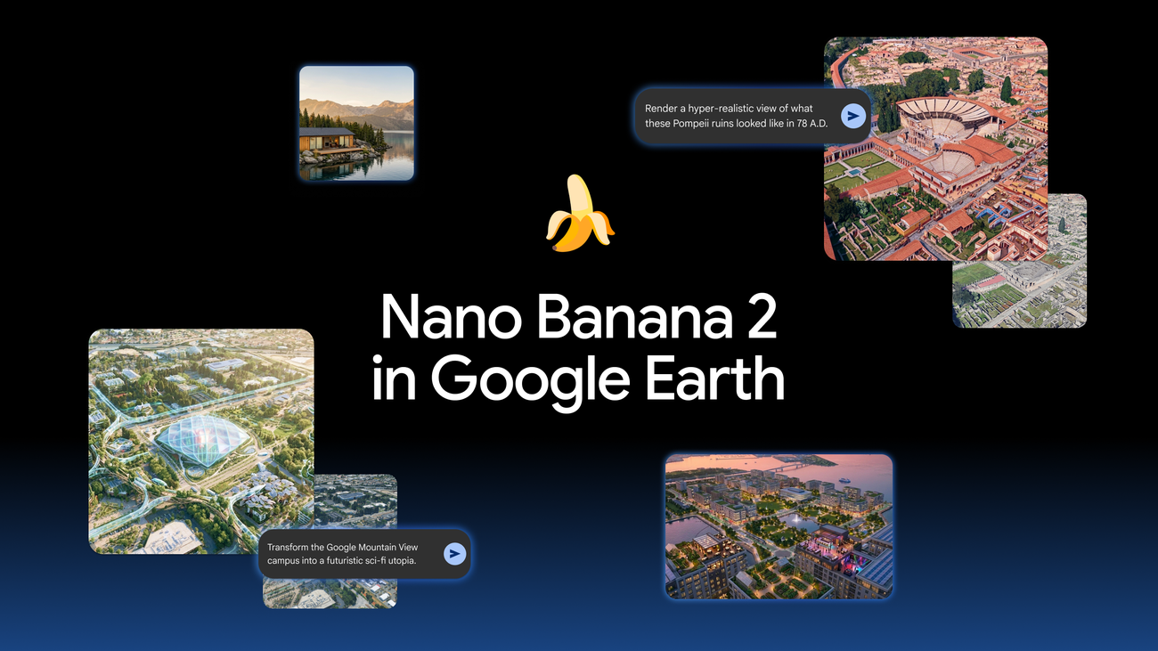
That is why Google’s July 30 experiment was so poorly matched to the product it lived inside. For a brief period, Google Earth on the web let people use Nano Banana 2 to generate an image from its satellite, aerial and 3D imagery. Google pitched the capability for historical visualizations, real-estate plans and imaginative redesigns. Within roughly a day, though, it pulled the feature after manipulated scenes depicting disasters, attacks and other false events began circulating.
The rollback was the right call. More important, it draws a line the industry has been too willing to blur: generative imagery can be a fine creative layer, but it cannot be allowed to masquerade as the evidence layer of a map.
What launched — and what changed
Google’s original post said a user could choose a place in Google Earth on the web, tap “create image,” and prompt Nano Banana to transform it. The company’s examples were benign on their face: reconstructing Pompeii, turning a site into an infographic, or previewing a building project.
That proximity to real geography was the problem as well as the appeal. The generated result inherited the visual authority of a familiar Earth view. Independent coverage from TechCrunch, Ars Technica and The Washington Post documented how quickly people produced apparently plausible images of events that had never happened. Google then said it was rolling back the capability while it worked on stronger guardrails.
| Stage | What happened | Why it matters |
|---|---|---|
| July 30 launch | Google made Nano Banana image generation available in Google Earth on the web. | The feature joined generative imagery to a service people often treat as location evidence. |
| Early misuse | Users circulated fabricated scenes of destruction and other false events. | A convincing aerial-looking image is unusually easy to repost without its original context. |
| Rollback | Google withdrew the feature while it considers stronger guardrails. | The company recognized that post-generation labeling was not enough protection in this setting. |
This is not a complaint that an image model can make fiction. That is what image models do. The failure was putting an unusually frictionless fiction button into an interface built around observing real places.
A watermark is not an evidence model
Google initially pointed to SynthID watermarking and detection tools as part of its transparency approach. Those are useful pieces of a broader system, but they do not solve the problem by themselves.
A watermark asks an image recipient to have the file, know that detection is relevant, and take the extra step of checking. Screenshots, recompression, crops and reposts make that workflow even less dependable. In the actual attention economy, an alarming image gets shared first and questioned later.
The product design should assume that an aerial image will escape its original interface. Once it does, the subtle difference between “an imagined Google Earth transformation” and “a Google Earth view of an event” can disappear. That is particularly dangerous for images of conflict, natural disasters, protests, environmental damage or infrastructure failures—situations where location and apparent provenance are the entire point.
The distinction matters beyond journalists and investigators. Residents use maps to assess a storm, buyers use them to understand a property, and ordinary people reach for satellite imagery when they are trying to decide whether a dramatic clip is credible. A platform cannot train people to use its imagery as a reference, then make that reference visually mutable without unusually strong separation.
The useful version should look unmistakably different
There is a real product idea hiding inside the bad launch. Urban planners, teachers and architects do need fast ways to visualize alternatives. A historically reconstructed street or a proposed community garden can make a conversation much clearer than a paragraph of text.
But that work belongs in a clearly separate mode with its own visual language and export behavior. A safe redesign would need more than a tiny label:
| Guardrail | What it should accomplish |
|---|---|
| Dedicated concept workspace | Separate speculative work from the default map and imagery view. |
| Persistent visible provenance | Keep “AI concept” obvious in the canvas and in every exported image, not just in metadata. |
| Sensitive-location restrictions | Block or heavily constrain edits involving conflict zones, public safety, critical infrastructure and active events. |
| Deliberate export friction | Require a confirmation that explains the image is synthetic before it can be saved or shared. |
| Source-preserving comparison | Let users show the original Earth imagery alongside the generated concept by default. |
Those measures would not eliminate misuse. They would, however, stop the product from lending its ordinary evidence interface to the misuse. That is a much better standard than hoping a detector catches every artifact after it has gone viral.
The larger lesson for AI features
Google has been extending Nano Banana-style image tools across its products, including browser experiences we examined in Gemini in Chrome’s everyday-tab AI race. In a general creative canvas, the primary question is usually authorship and disclosure. In a map, a medical image viewer, an account-security screen or a financial dashboard, the question is more basic: can the user still trust what they are looking at?
That means safety cannot be bolted on as a generic moderation filter. It has to follow the social role of the host product. A playful transformation can be harmless in one place and corrosive in another.
Google’s withdrawal is better than digging in, and it is worth saying that plainly. The company did not leave the feature up and tell users to become their own forensic analysts. But the speed of the reversal also shows the original release lacked the product judgment that a high-trust information surface demands.
Bottom line
Google Earth should remain a place for seeing the world, not a place where synthetic events borrow the visual grammar of reality.
If Google brings image generation back, it should be as a clearly quarantined visualization tool: visibly fictional, difficult to confuse with source imagery and designed around the fact that exports travel farther than context. The one-day experiment is a useful warning. In software that helps people verify reality, the safest generative feature may be the one that never touches the evidence view at all.